This book examines a new trend affecting cartography and geographic information science. Presenting the work of over 30 authors from 16 different countries, the book provides an overview of current research in the new area of Internet Cartography. Chapt
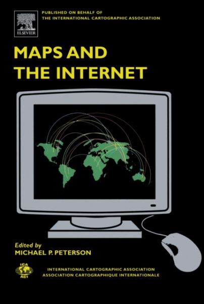
This book examines a new trend affecting cartography and geographic information science. Presenting the work of over 30 authors from 16 different countries, the book provides an overview of current research in the new area of Internet Cartography. Chapters deal with the growth of this form of map distribution, uses in education, privacy issues, and technical aspects from the point of view of the map provider - including Internet protocols such as XML and SVG. Many see the Internet as a revolution for cartography. Previously tied to the medium of paper and expensive large-format color print technology, maps had a limited distribution and use. The Internet made it possible to not only distribute maps to a much larger audience but also to incorporate interaction and animation in the display. Maps have also become timelier with some maps of traffic and weather being updated every few minutes. In addition, it is now possible to access maps from servers throughout the world. Finally, the Internet has made historic maps available for viewing to the public that were previously only available in map libraries with limited access.
Our site uses cookies and similar technologies to offer you a better experience. We use analytical cookies (our own and third party) to understand and improve your browsing experience, and advertising cookies (our own and third party) to send you advertisements in line with your preferences. To modify or opt-out of the use of some or all of our cookies, please go to “Manage Cookies” or view our Cookie Policy to find out more. By clicking “Accept all” you consent to the use of these cookies.