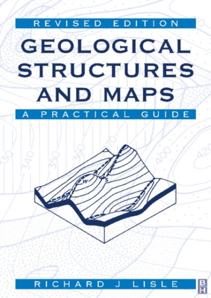
This highly illustrated student guide introduces the skills of interpreting a geological map and relating it to the morphology of the most important types of geological structure. Thoroughly revised, and with more international examples, it is ideal for u
This highly illustrated student guide introduces the skills of interpreting a geological map and relating it to the morphology of the most important types of geological structure. Thoroughly revised, and with more international examples, it is ideal for use by students with a minimum of tutorial supervision.Photographs of structures are set alongside their representations on maps. The maps used in exercises have been chosen to provide all of the realism of a survey map without the huge amount of data often present, so that students can develop skills without becoming overwhelmed or confused. In particular, emphasis is placed throughout on developing the skill of three-dimensional visualization so important to the geologist. - Successful practical guide provides a solid introduction to the subject of geological maps- Fully revised edition includes more international examples to increase the breadth of your knowledge- Illustrations and end of chapter questions make this an ideal tool to aid self-guided study
Our site uses cookies and similar technologies to offer you a better experience. We use analytical cookies (our own and third party) to understand and improve your browsing experience, and advertising cookies (our own and third party) to send you advertisements in line with your preferences. To modify or opt-out of the use of some or all of our cookies, please go to “Manage Cookies” or view our Cookie Policy to find out more. By clicking “Accept all” you consent to the use of these cookies.