Subscribe To Newsletter
Subscribe to our mailing list to receive updates on new arrivals, special offers and our promotions.


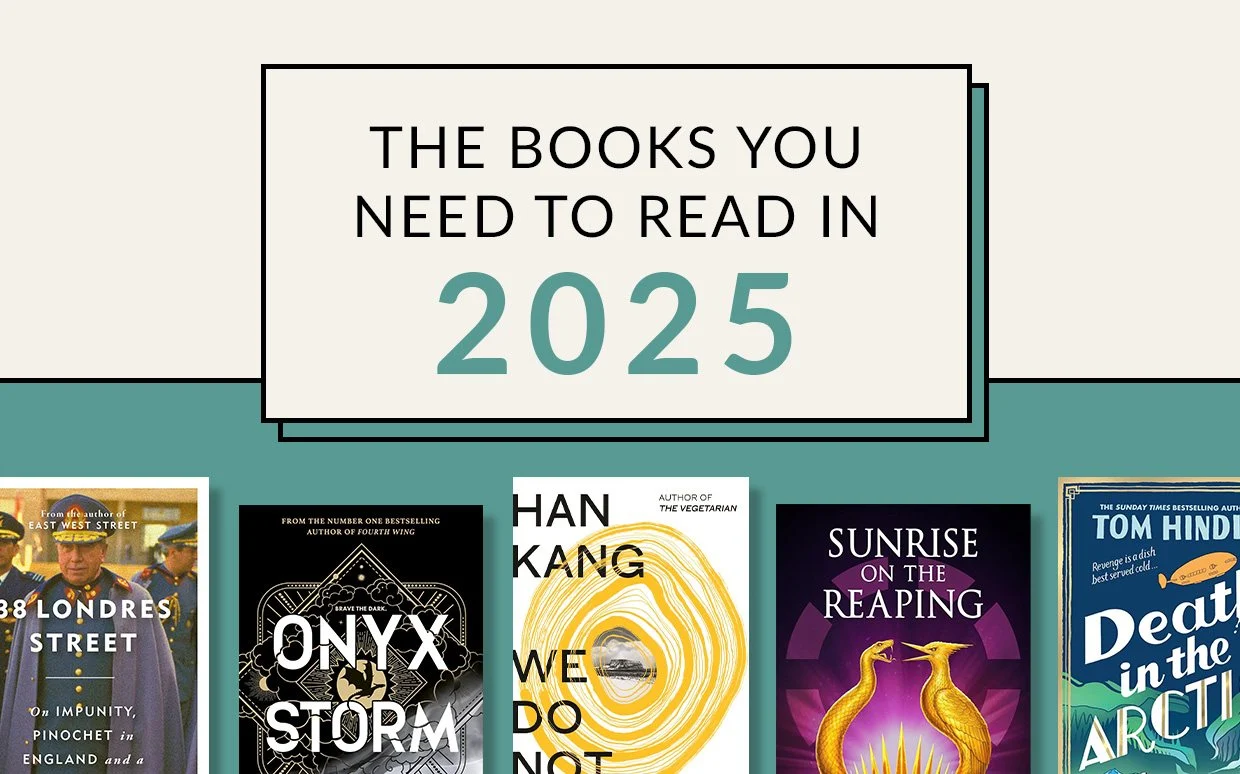
2025 is shaping up to be another truly incredible year for books. In fiction, Daisy Jones and the Six’s Taylor Jenkins Reid weaves a gripping new novel boasting a celestial backdrop
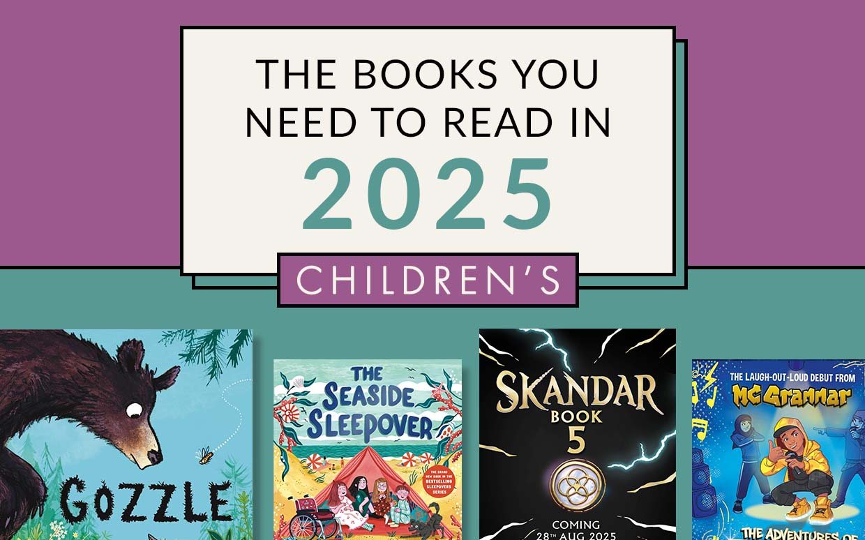
There are fresh adventures aplenty for children of all ages coming this year - whether they are heart-pounding warrior unicorn battles, heartwarming stories of animal friendship
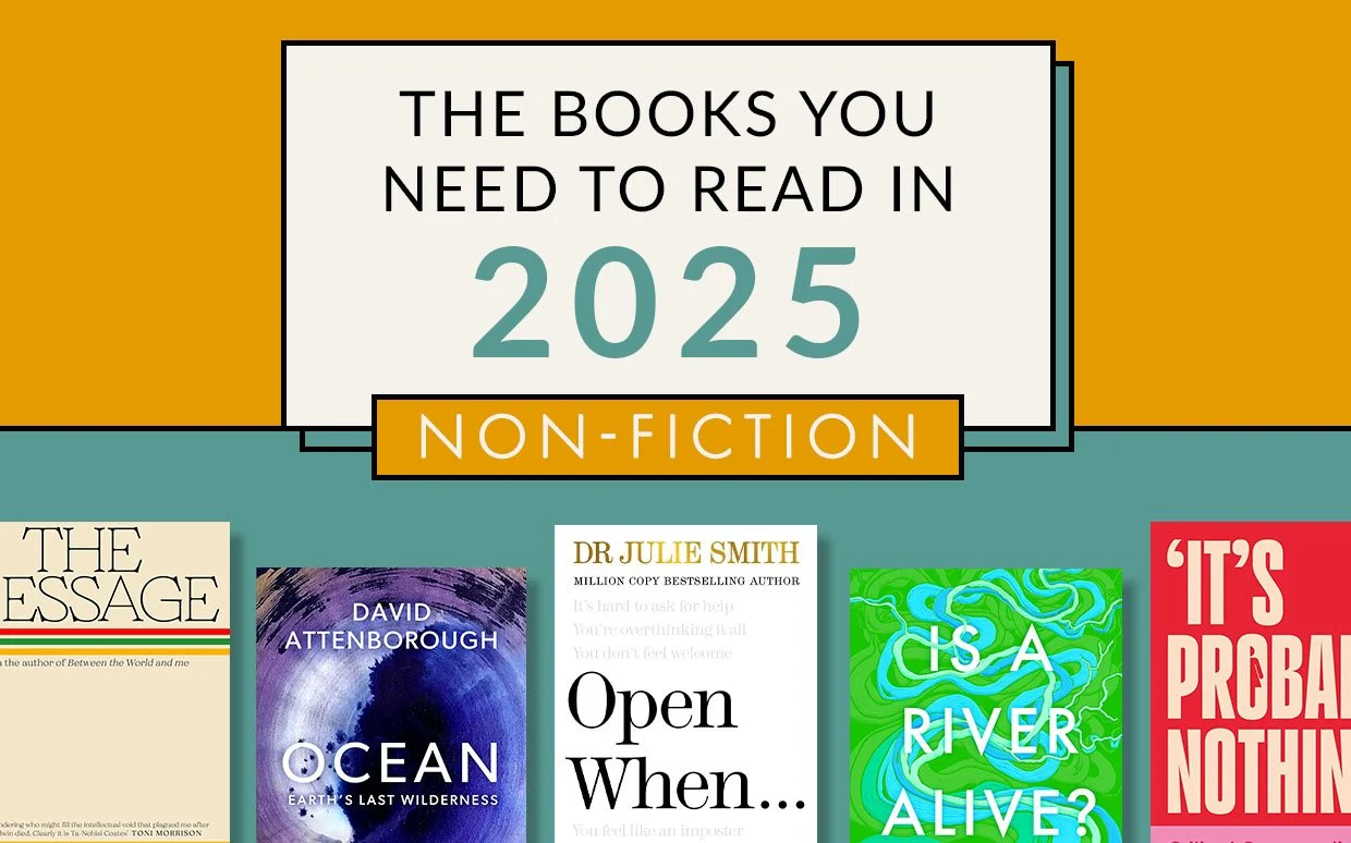
Ranging from biography to lifestyle to popular science, 2025 sees some our favourite non-fiction writers returning with exciting new titles. Hallie Rubenhold's award-winning
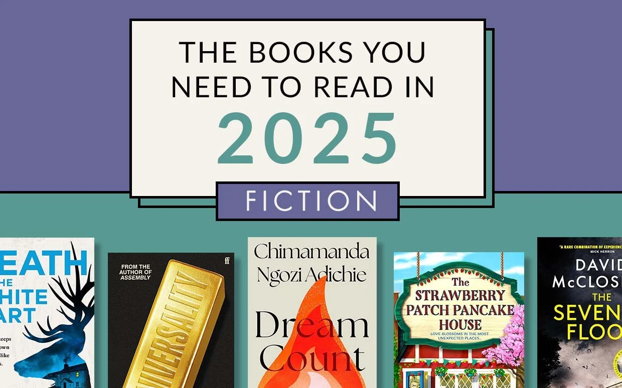
2025 is shaping up to be another truly incredible year for books. In fiction, Daisy Jones and the Six’s Taylor Jenkins Reid weaves a gripping new novel boasting a celestial backdrop